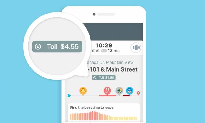
If you’re going to drive through highways and areas with several toll fees, it would be nice to have an estimate of what you’ll have to spend on that trip. While there are probably some apps that can help you with that or you can just Google toll fees, it would be more convenient if that information was already available in an app that you’re already using for that drive. Waze is now crowd-sourcing and adding toll fee information to its navigation guidance in North America and Israel.
Waze has been a (mostly) reliable source of information for drivers when trying to figure out how to get somewhere and how long it will take you to get there. Now you can add how much you’ll have to spend to get there as they will be providing data for over 5,000 miles of toll roads in the US, Canada, and Israel. Previously, you can get notifications from other apps like Google Maps that you’re approaching a toll road but now you’ll also be able to see the estimated price.
Since Waze relies a lot on crowd-sourced information for things like congestion, police presence, dangerous conditions, etc, the toll information is also based on information other drivers will add to the app. The information you can enter may include different types of toll road passes, entrance and exit points, different toll types for different cars, etc. The pricing data will show up as a “warning” in your route.
Please note that you won’t actually be able to pay through Waze. You’ll only know how much you will need to pay on that specific toll road. The pricing may also differ of course depending on what car you’re driving and other factors. What it does give you is an estimate based on the information that other drivers give on the app.
According to SlashGear, the new feature should show up in the latest version of the Waze app. For now, it will only be available in the US, Canada, and Israel, but hopefully it will also show up in other countries eventually.


