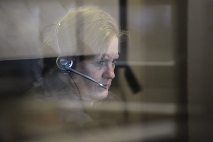
If you’ve ever had to make a 911 call, you know that sometimes you can get too flustered that you may give out the wrong address of your current location or you sometimes don’t know exactly where you are. There have been studies from federal regulators saying that first responders can save as many as 10,000 lives if you just shave off a minute in the response times that comes from having an accurate location system. Google has been testing out their tech to help 911 operators in this regard.
The test ran from December to January and actually covered tens of thousands of calls with West Corp and Rapid SOS, two companies that have connections with 911 centers. Using a random sample of Android smartphones, they were able to send data to 911 operators about where the location of the callers were. More than 80% of the 911 calls got more accurate data in the first 30 seconds as compared to the carrier data. Google provided an estimated radius of 121 feet for an average location estimate while carrier data had an average of 522 feet.
There were a few problems encountered during the trial, which included around 50,000 calls that weren’t able to include the data from the carrier. But that was because AT&T was unaware of the pilot, but as soon as this was fixed, Google was able to adjust its program. Those who participated in the pilot said it was of course very useful, as they could now validate the location of the caller.
Public-safety officials have been pressuring both Google and Apple to make their location data available for 911 agencies as the data from wireless carriers is less accurate than those from the location-sharing features of smartphones on their platform (like Google Maps). Hopefully, this pilot test will result in a better system for the whole 911 system.
VIA: Wall Street Journal


