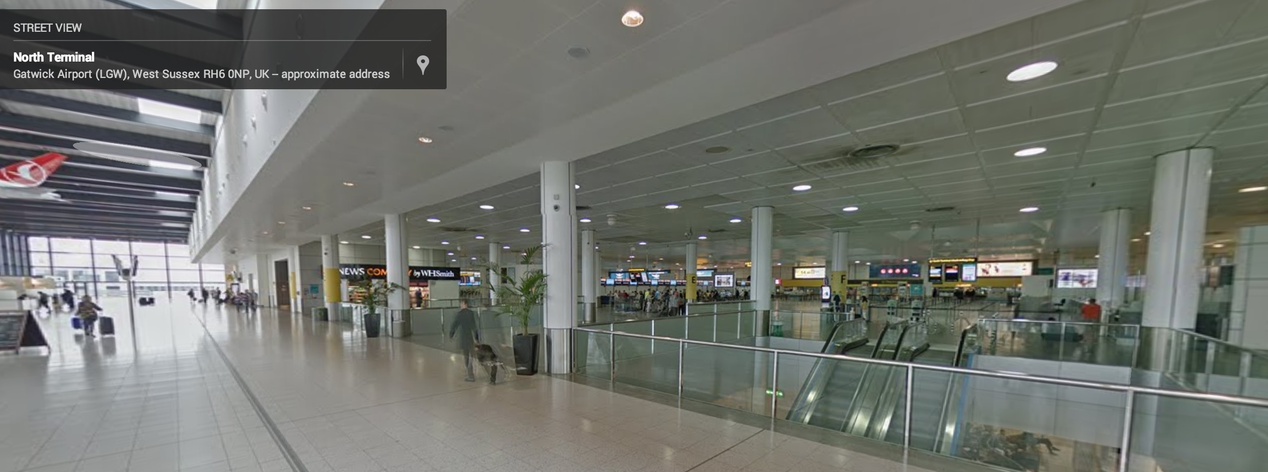
Google Maps is great for exploring areas you may never get to, or scoping out those which you’ll be visiting soon. Often times, that requires public transportation. Google Street View is useful for checking out where you’re going, and getting good idea of what places look like, but what about when you get inside? It’s not always so easy.
Sometimes you get to a train station or airport, and are left looking like that thing you want to avoid being: a tourist. You stand there, jaw dropped, trying to figure out where you’re going. Which platform does your train take off from? You know you need to be at gate 13 for your flight, but where is it best to be dropped off at?
Google Street View is now adding Airports and Train Stations to their mix, giving you a great way to accurately and efficiently plan your trips. By knowing where to go once inside, you can reduce a lot of stress and avoid missing your planned trip. Also, you have more time to enjoy vacation, and could spend less time stressing about where you’re going next.
Most of these mapped locales are overseas, so if you’re traveling domestically, keep stressing. Even larger airports, which can be tough to navigate (we’re looking at you, Chicago O’Hare) aren’t mapped yet, but we hope it’s coming. Google has begun lending out their Street View backpacks, so hopefully airport security will let mappers trapse around. If you’re curious which locations are mapped, check out Google’s Street View transit finder page.
VIA: Engadget


