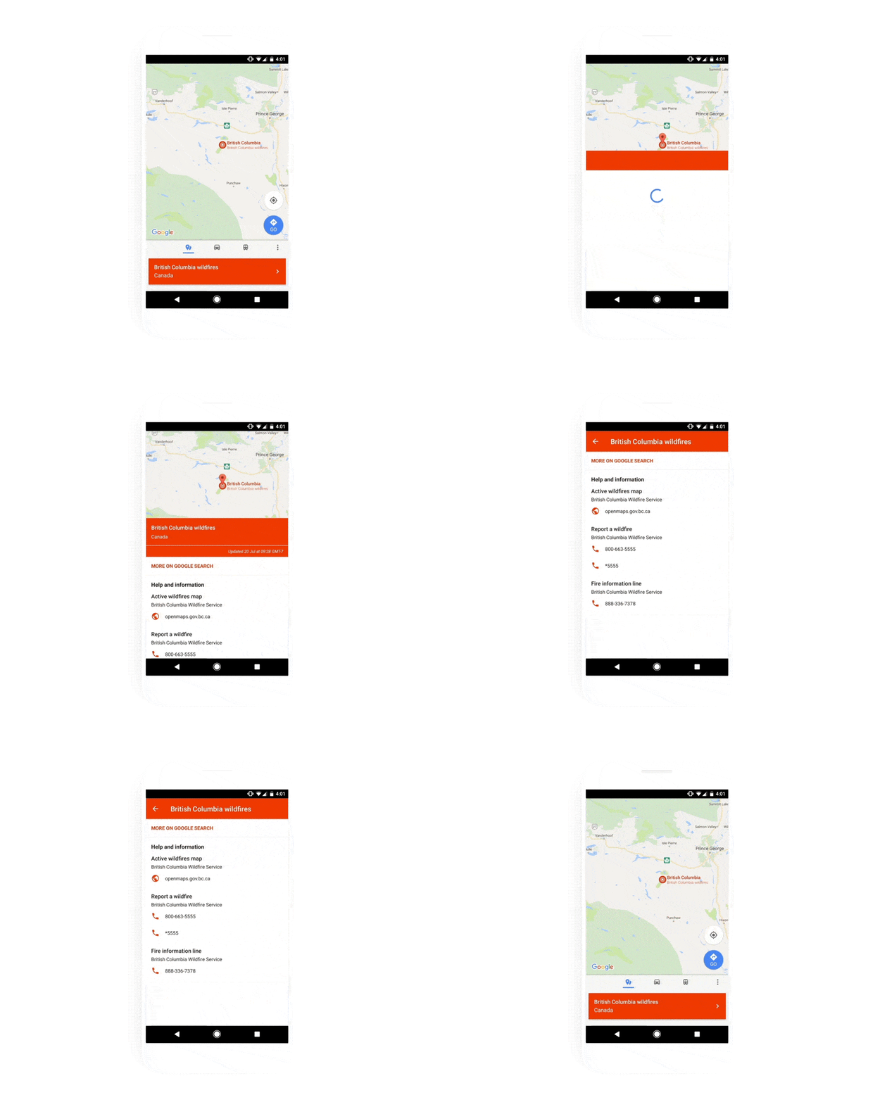
Google has been bringing features like Person Finder, Crisis Map, and Public Alerts to help people in crisis situations and those who have loved ones there have tools that will give them a bit of reassurance during times of disaster or emergencies. The newest set of features that they’re bringing now aims to bring more information to those looking through Search and Google Maps. The SOS alerts aims “to help you quickly understand what’s going on and decide what to do during a crisis.”
For example, you saw on Twitter some information that a disaster or crisis is happening in a specific place. Go to your Google search app, make a search about that place and you will see an SOS alert at the top of the search results if it has been verified. You can look at top stories, maps, and even “authoritative local information” if they’re available. This includes local emergency contact numbers, translations of useful phrases and websites with latest, accurate information. Even if you’re not in the affected area, you will still be able to get that SOS alert, together with an overview of the situation and donation opportunities.

When you’re on Google Maps, you’ll also be able to see SOS Alerts as an icon in specific affected locations in the map. There is also a card that you can look at which contains more information about the crisis, together with local contact numbers and websites you can refer to. There are also info about the road closures and traffic and transit information, in case you need get to that area.

Google is working with organizations like the Red Cross, the Federal Emergency Management Agency, the Philippine Atmospheric, Geophysical and Astronomical Services Administration to bring relevant and timely information to those affected or interested in areas affected by crisis. Google.org is their philanthropic arm that provides grants and volunteers for areas that have been affected by crisis and disasters.
SOURCE: Google


