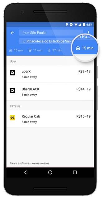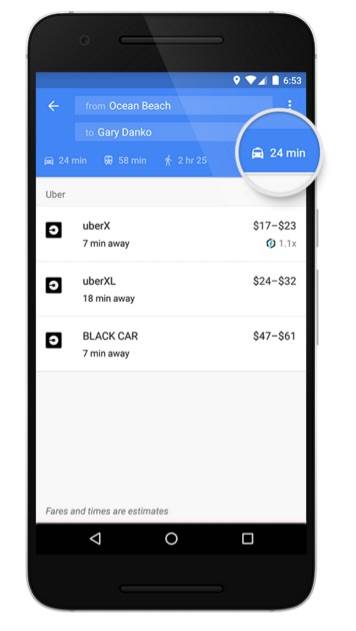
Ride sharing services like Uber, Lyft and others have already become a necessary (evil, some might say) part of the life of people who live in big cities. And Google Maps now believes it should be part of their navigation as well. In the latest update to the Android app, you’ll now find a new tab that is dedicated to the biggest ride-sharing services in the specific city where you are in and will even include availability and price estimates for each.
The tab will be right alongside the current car, transit, walking, and biking options that you can see. You will now have a little taxi-looking icon right alongside them and so they are now included in the options on what is the fastest way to get to your destination. Included in that tab of course is Google Map’s global ride service partner Uber, but it will also have 99Taxis in Brazil, Ola Cabs in India, Hailo in the UK and Spain, mytaxi in Germany and Spain, and Gett in the UK. They will be adding more providers in respective countries eventually.

When you click on the tab, you will be able to see all the services with their fare estimates and the estimated time of arrival if there are cars available around you. That is, if you have the apps installed in your device of course. It can also show ride service availability when you’re in the map when looking at walking and transit directions. If the service has several kinds of cars available, like Uber and its uberXL and uberBlack, it will also show so you can compare.

Once you’ve decided which service to take, just tap on it and it will bring you directly to the app so you can book the ride. The ride services tab will be rolling out gradually to all Android devices with Google Maps over the next few days.
SOURCE: Google Maps


