It used to be that map and navigation apps cater mostly to people who have cars or are driving or being driven around unfamiliar areas. But developers have been realizing that a lot of the people who need these kinds of services are commuters or people taking public transportation. Google Maps has been giving public transit information since 2007, but now they have vastly improved the service by giving you real-time transit conditions and adding more countries and cities covered.
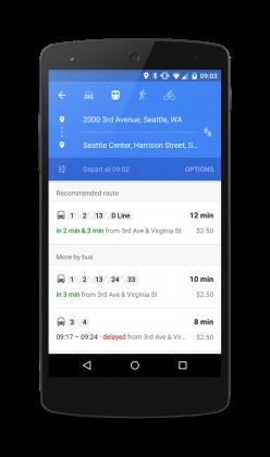
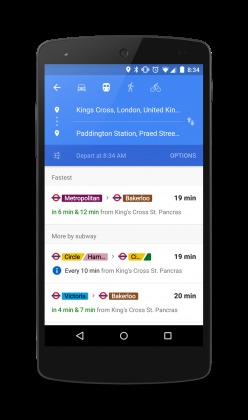
When you look at your Google Maps app starting today, the information for your relevant “journeys” are now arranged and summarized. It also gives you suggestions as to what is the fastest kind of public transport to take when going to a specific place, or other suggestions if you’ve missed that bus schedule. It gives you live information like the arrival and departure of buses, trains, etc and even cancelled routes due to accidents or roadwork.

Google Maps has also added two more countries and four metro areas to their database so if you live or are visiting the UK, Netherlands, Budapest, Chicago, San Francisco, and Seattle, you will also now be able to enjoy real-time transit info as well. Knowing Google, they will probably be adding more cities and countries later on to help both drivers and commuters navigate their way around the world.

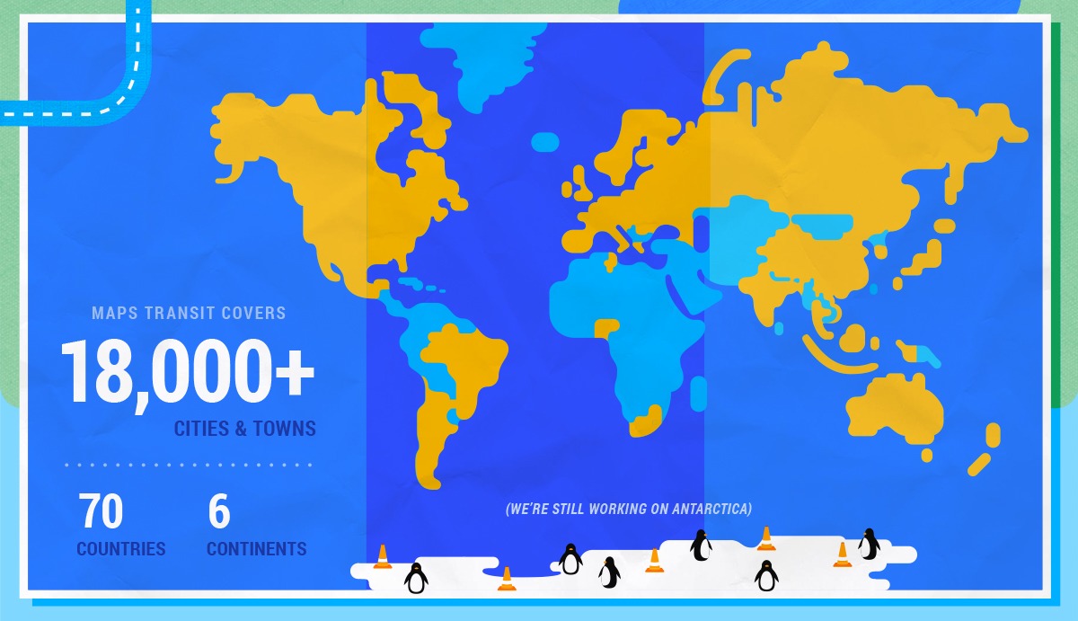
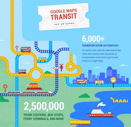
Google now covers more than 18,000 cities and towns in 70 countries and 6 continents through the help of more than 6,000 transit authorities covering more than 2.5 million trains, buses, ferry terminals, etc. However, they are still working on Antarctica. They’re kidding. Maybe.

SOURCE: Google


