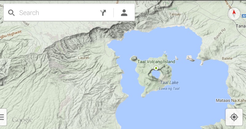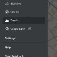
Coming up a bit behind schedule, Google has pushed out one last app to update this week. Google Maps, which now goes by the version number 8.1, now sports an old but new feature, the 3D Terrain View.
Terrain View isn’t exactly new as far as Google Maps goes, since it’s been there for quite some time on the browser version of Google Maps. However, it was noticeably missing from the Android app version. At least until now.
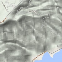
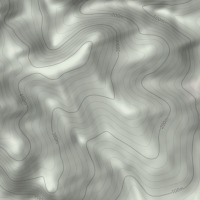
This new view mode might not exactly be useful for commuters or casual users, however, it can be quite essential for trekkers and adventurers. Terrain View gives a topographical 3D rendering of an area, showing land details such as mountains, canyons, and the like, alongside the usual roads and hi-ways. It also has markers that note the elevation of land, giving users an idea of how high or low these areas are. Potentially life-saving, not to mention time-saving, information, and its a bit of a wonder that it took this long to have the feature inside our mobile devices where it could be used best.
As always, staged rollouts means it could take time for the update to arrive in your region. Unless you’re an extremely mobile and well-traveled user, waiting is probably not going to be much of an issue.
Download: Google Maps on Google Play Store


This isn’t new, terrain layer was in Maps v6 on Android. It was one of the many features that Google infuriatingly removed in v7, along with zoom buttons, tape measure, separate navigation launch icon etc. I still run v6 on my phone, as it works well and these features are important to me. Good to see that Terrain is reappearing now, but still need the other deprecated features as well.