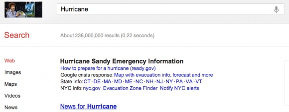
Google’s Public Alerts feature, which displays important events like storms and earthquakes, has been integrated with Search and Maps for Android. This should help users stay up to date with important information involving emergencies and important events. Of course, it features plenty of information on public enemy number one, Hurricane Sandy.
Google has certain search terms in Maps and Search that will trigger the information. So a search for Hurricane Sandy would cause important information on the superstorm to be displayed in Maps or Search. It shows things like shelters and evacuation routes to help people deal with the issues regarding the storm.
Google was not planning on making the feature official until later in the week. However, with the serious storm currently making its way across the eastern portion of the United States, Google decided to rush the new feature out so people could use it. According to Google, this is just part of a larger and continuous effort to provide emergency information.
Google has a network of partners that is uses to gather its public data. They are using USGS and NOAA, both of which use the Common Alerting Protocol. Google is also planning to add new partnerships in the future.
[via SlashGear]


It only took a hurricane to reach NYC, so Google can add this feature…